Forecast
-
Map
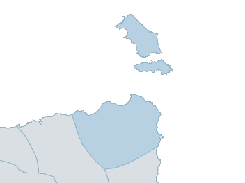
furneaux islands Weather Forecast
For TuesdayDistrict Forecast

Tuesday Partly cloudy. High chance of showers, becoming less likely this afternoon. Winds NW 20 to 30 km/h increasing to 30 to 45 km/h in the morning then turning W in the evening. Daytime maximum temperatures around 16. 
Wednesday Partly cloudy. Very high chance of showers, most likely in the morning. Winds W 35 to 55 km/h. Overnight temperatures falling to around 8 with daytime temperatures reaching around 14. Thursday Partly cloudy. Slight chance of a shower. Winds W 20 to 30 km/h turning N during the afternoon. Overnight temperatures falling to around 8 with daytime temperatures reaching around 16. Friday Partly cloudy. High chance of showers, most likely in the afternoon and evening. Winds N 20 to 30 km/h turning NW 25 to 35 km/h during the morning. Overnight temperatures falling to around 9 with daytime temperatures reaching around 17. -
National Forecast
-
weather_m_banner_320x50
-
Sydney: Mobile Map (33.8671°S, 151.2071°E, 74m AMSL) set your location ›
furneaux islands Weather Forecast
For TuesdayDistrict Forecast
Tuesday Partly cloudy. High chance of showers, becoming less likely this afternoon. Winds NW 20 to 30 km/h increasing to 30 to 45 km/h in the morning then turning W in the evening. Daytime maximum temperatures around 16. Wednesday Partly cloudy. Very high chance of showers, most likely in the morning. Winds W 35 to 55 km/h. Overnight temperatures falling to around 8 with daytime temperatures reaching around 14. Thursday Partly cloudy. Slight chance of a shower. Winds W 20 to 30 km/h turning N during the afternoon. Overnight temperatures falling to around 8 with daytime temperatures reaching around 16. Friday Partly cloudy. High chance of showers, most likely in the afternoon and evening. Winds N 20 to 30 km/h turning NW 25 to 35 km/h during the morning. Overnight temperatures falling to around 9 with daytime temperatures reaching around 17.