Forecast
-
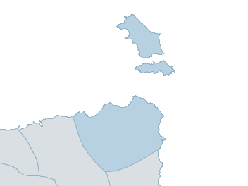
Map
furneaux islands Weather Forecast
For MondayDistrict Forecast

Sunday Mostly sunny. Slight chance of a shower early this morning. Winds W 30 to 45 km/h. Daytime maximum temperatures around 17. 
Monday Partly cloudy. Medium chance of showers, most likely at night. Winds W 20 to 30 km/h tending NW 25 to 35 km/h before dawn then tending W/NW 30 to 45 km/h in the middle of the day. Overnight temperatures falling to around 11 with daytime temperatures reaching around 20. Tuesday Medium chance of showers in the morning. Sunny afternoon. Winds NW 25 to 35 km/h tending W 25 to 40 km/h during the morning. Overnight temperatures falling to around 13 with daytime temperatures reaching around 19. 
Wednesday Mostly sunny. Winds W/SW 20 to 30 km/h. Overnight temperatures falling to around 11 with daytime temperatures reaching around 18. -
National Forecast
-
weather_m_banner_320x50
-
Sydney: Mobile Map (33.8671°S, 151.2071°E, 74m AMSL) set your location ›
furneaux islands Weather Forecast
For MondayDistrict Forecast
Sunday Mostly sunny. Slight chance of a shower early this morning. Winds W 30 to 45 km/h. Daytime maximum temperatures around 17. Monday Partly cloudy. Medium chance of showers, most likely at night. Winds W 20 to 30 km/h tending NW 25 to 35 km/h before dawn then tending W/NW 30 to 45 km/h in the middle of the day. Overnight temperatures falling to around 11 with daytime temperatures reaching around 20. Tuesday Medium chance of showers in the morning. Sunny afternoon. Winds NW 25 to 35 km/h tending W 25 to 40 km/h during the morning. Overnight temperatures falling to around 13 with daytime temperatures reaching around 19. Wednesday Mostly sunny. Winds W/SW 20 to 30 km/h. Overnight temperatures falling to around 11 with daytime temperatures reaching around 18.