Forecast
-
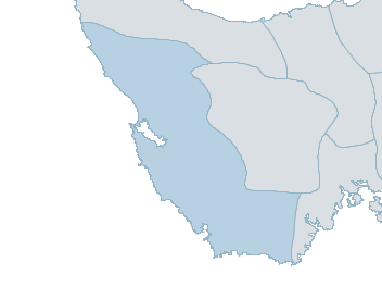
Map
western Weather Forecast
For ThursdayDistrict Forecast

Thursday Cloudy. Very high chance of showers, most likely during this afternoon and evening. Winds NW 35 to 50 km/h. Daytime maximum temperatures between 11 and 16. 
Friday Cloudy. Very high chance of rain, most likely in the morning and afternoon. Winds W/NW 15 to 25 km/h becoming light before dawn then becoming S/SE 20 to 30 km/h in the morning. Overnight temperatures falling to between 5 and 9 with daytime temperatures reaching between 9 and 14. 
Saturday Cloudy. Medium chance of showers, most likely in the morning. Winds S/SE 15 to 25 km/h tending S/SW 20 to 30 km/h during the day. Overnight temperatures falling to between 2 and 6 with daytime temperatures reaching between 10 and 14. Sunday Cloudy. High chance of showers. Winds W/NW 25 to 35 km/h. Overnight temperatures falling to between 2 and 7 with daytime temperatures reaching between 9 and 14. -
National Forecast
-
weather_m_banner_320x50
-
Sydney: Mobile Map (33.8671°S, 151.2071°E, 74m AMSL) set your location ›
western Weather Forecast
For ThursdayDistrict Forecast
Thursday Cloudy. Very high chance of showers, most likely during this afternoon and evening. Winds NW 35 to 50 km/h. Daytime maximum temperatures between 11 and 16. Friday Cloudy. Very high chance of rain, most likely in the morning and afternoon. Winds W/NW 15 to 25 km/h becoming light before dawn then becoming S/SE 20 to 30 km/h in the morning. Overnight temperatures falling to between 5 and 9 with daytime temperatures reaching between 9 and 14. Saturday Cloudy. Medium chance of showers, most likely in the morning. Winds S/SE 15 to 25 km/h tending S/SW 20 to 30 km/h during the day. Overnight temperatures falling to between 2 and 6 with daytime temperatures reaching between 10 and 14. Sunday Cloudy. High chance of showers. Winds W/NW 25 to 35 km/h. Overnight temperatures falling to between 2 and 7 with daytime temperatures reaching between 9 and 14.